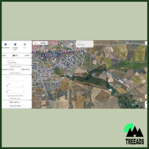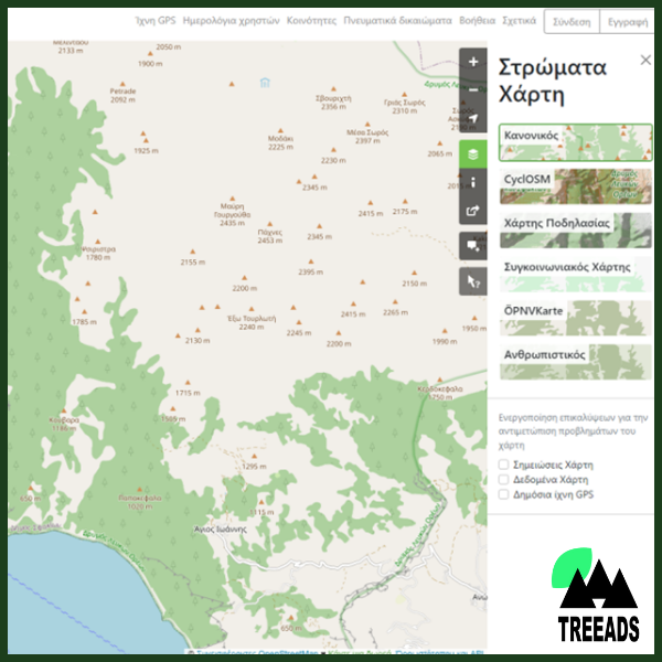
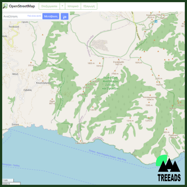
A flexible, interactive, and dynamic mapping tool based on OpenStreetMap (OSM) database that offers information and suggestions to individuals and authorities related to wildfires prevention, detection, and restoration.
If you wish to learn more about this technology and/or purchase it, add it to your Shopping Cart and proceed to checkout. You will not be charged. When this procedure is completed you will receive the contact information of the party responsible for this technology.