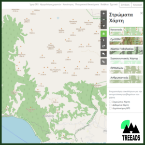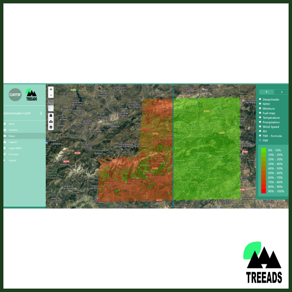
A service based on Copernicus data aiming at identifying the baseline of main vulnerabilities and threats in a specific territory to estimate the associated risk and visualize the collected and calculated information.
If you wish to learn more about this technology and/or purchase it, add it to your Shopping Cart and proceed to checkout. You will not be charged. When this procedure is completed you will receive the contact information of the party responsible for this technology.